


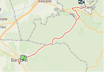

7 km | 8,9 km-effort

Tous les sentiers balisés d’Europe GUIDE+


Kostenlosegpshiking-Anwendung
 SityTrail
IGN / Geografische Institute
SityTrail World
Die Welt öffnet sich für Sie
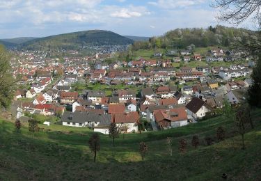
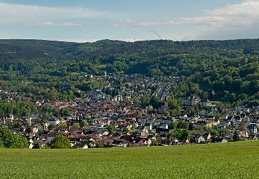
Tour Zu Fuß von 9,6 km verfügbar auf Hessen, Main-Kinzig-Kreis, Bad Orb. Diese Tour wird von SityTrail - itinéraires balisés pédestres vorgeschlagen.
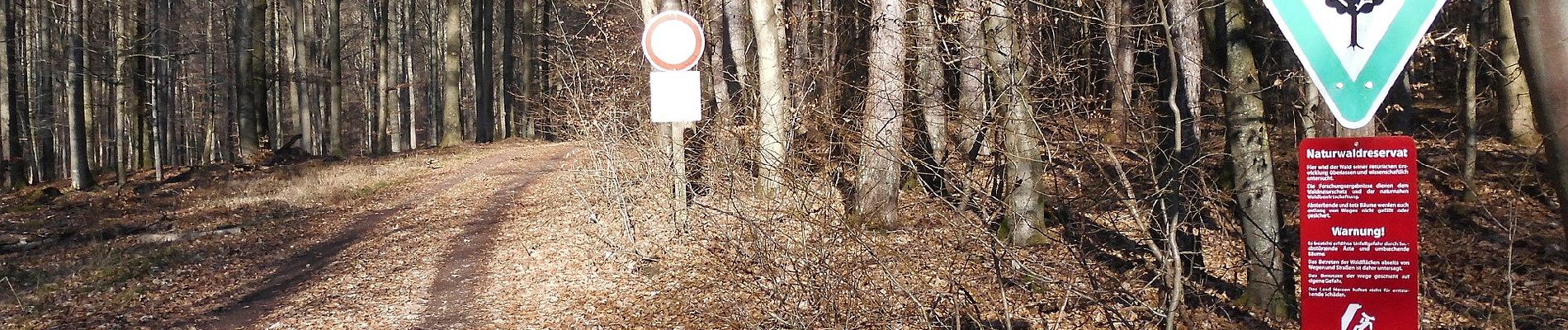
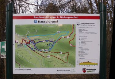
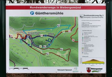
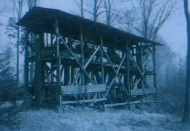
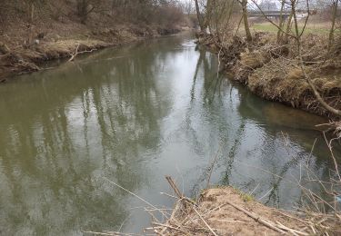
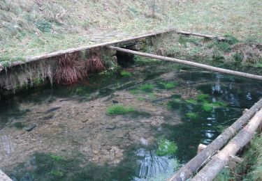
Trail created by Spessartbund.
Member aus Relation 3872157 entnommen.
Symbol: Roter Balken auf weißem Grund


Zu Fuß
Zu Fuß
Zu Fuß
Zu Fuß
Zu Fuß
Zu Fuß
Zu Fuß
Zu Fuß
Zu Fuß